
Our surveying services offer a comprehensive range of solutions to meet your land, coastal, and geotechnical assessment needs. Our team of highly skilled professionals includes hydrographic surveyors, road surveyors, coastal surveyors, RTK surveyors, total station surveyors, and experts in preliminary surveying.
Hydrographic Surveyors: Our hydrographic surveyors utilize advanced equipment and techniques to collect precise data on water bodies, ensuring accurate mapping of the underwater terrain, depths, and features. This information is vital for navigation, dredging, and coastal management projects.
Road Survey: Our road survey specialists employ cutting-edge technology to gather data on existing road conditions, traffic patterns, and topography. This data enables efficient road planning, design, and maintenance, ensuring safe and optimized transportation networks.
Coastal Survey: Our coastal survey team focuses on assessing coastal areas, monitoring erosion, sedimentation, and sea-level changes. By utilizing specialized equipment and methodologies, we provide crucial information for coastal development, conservation, and protection projects.
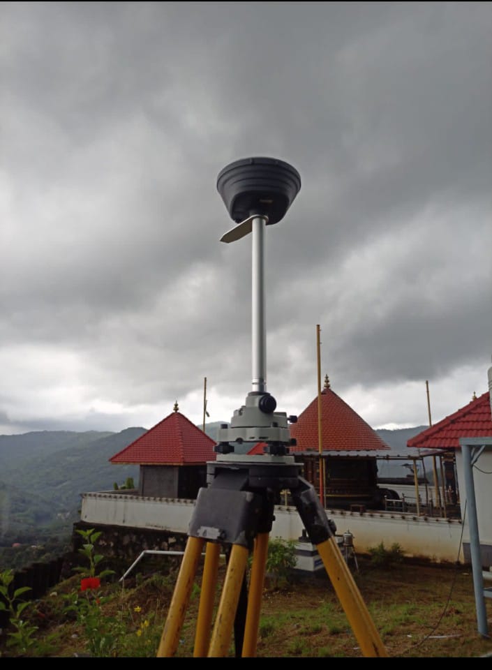
RTK Survey: Real-Time Kinematic (RTK) surveyors employ high-precision GPS equipment to capture real-time, accurate positioning data. This technique is essential for projects requiring precise measurements, such as construction layout, land title surveys, and infrastructure development.
Geotechnical Services: Our geotechnical experts conduct thorough investigations to evaluate soil conditions, stability, and geological hazards. These assessments are crucial for engineering projects, foundation design, slope stability analysis, and land development.
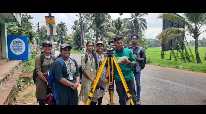
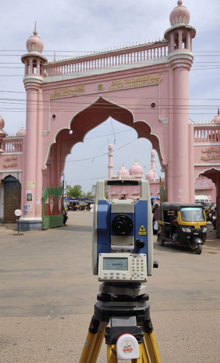
Total Station Surveyors: Our total station surveyors utilize advanced optical and electronic instruments to measure angles, distances, and elevations with exceptional accuracy. This technology is employed in various applications, including land surveying, construction layout, and boundary demarcation.
Preliminary Survey: Our preliminary survey team conducts initial assessments of project sites, collecting essential data to guide subsequent surveying and engineering activities. This stage involves establishing benchmarks, collecting basic topographic data, and assessing site conditions.
With our integrated surveying solutions, we strive to deliver precise and reliable data to support informed decision-making, enhance project planning, and ensure successful outcomes for land, coastal, and geotechnical projects.

Sas Surveyors And Engineers
Branches in Kottayam, Pala, Muvattupuzha, Idukki, Pathanamthitta, Kollam, Alappuzha
Phone : +91-9747081645 | +91-9072792516
Email : sasliju@gmail.com
Web : http://www.landsurvey.co.in